The Dartmoor Way Route Sections GPX files


There are GPX files for each of the 10 sections that make up the route as well as for High Moor Link.
As well, a GPX has been created for the whole route and for the Poor Weather alternatives as shown on the maps.
Click on the sections below to download the GPXs.
High Moor Link
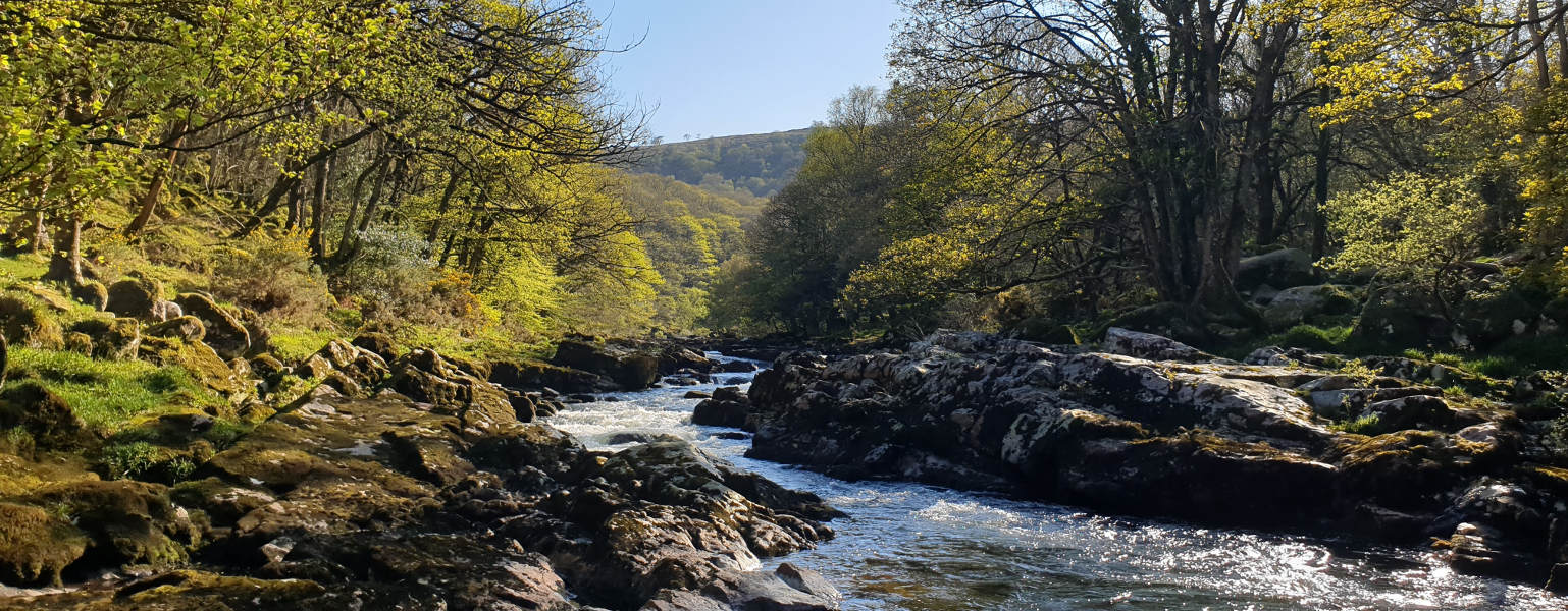
| Buckfast to Hexworthy – 10.4 miles/16.6km |
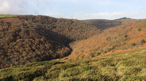
| Hexworthy to Tavistock – 12.8 miles/20.4km |
Whole Route - Poor Weather Alternatives
A special thanks must be given to Deb Bridges and her lovely dog 'Ula' who has accompanied Deb around the whole of the Dartmoor Way gathering information for the GPX files.